![](https://redrivernorthheritage.com/wp-content/uploads/2017/02/1926-River-Road-aerial-08-436x272.jpg)
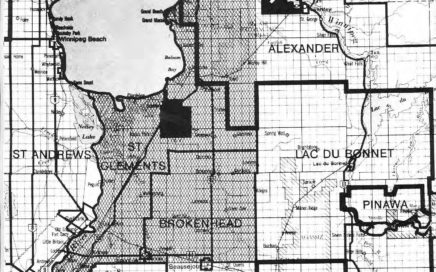
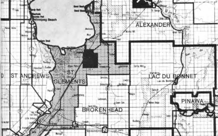
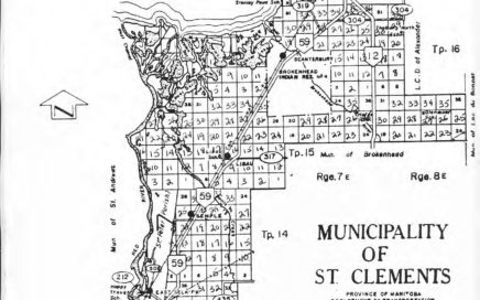
Maps and Aerial Photos
![](https://redrivernorthheritage.com/wp-content/uploads/2017/02/1926-River-Road-aerial-08-436x272.jpg)
![](https://redrivernorthheritage.com/wp-content/uploads/2017/02/1926-River-Road-aerial-09-436x272.jpg)
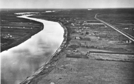
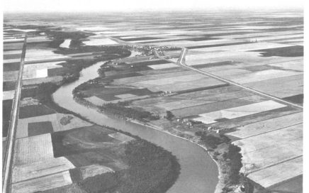
1926 River Road aerial 09
![](https://redrivernorthheritage.com/wp-content/uploads/2017/02/1926-River-Road-aerial-10-436x272.jpg)
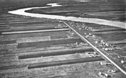
1926 River Road aerial 10
![](https://redrivernorthheritage.com/wp-content/uploads/2017/03/2_02-436x272.jpg)
2_02
![Lower Fort Garry Sketch](https://redrivernorthheritage.com/wp-content/uploads/2017/03/3_03-5-436x272.jpg)
3_03
![Map of St. Clements](https://redrivernorthheritage.com/wp-content/uploads/2017/03/4_03-5-436x272.jpg)
4_03
![Map of St. Clements](https://redrivernorthheritage.com/wp-content/uploads/2017/03/5_01-436x272.jpg)
5_01
![Map of St. Clements](https://redrivernorthheritage.com/wp-content/uploads/2017/03/6_02-436x272.jpg)
6_02
![](https://redrivernorthheritage.com/wp-content/uploads/2017/02/Floodway-436x272.jpg)
Floodway
![](https://redrivernorthheritage.com/wp-content/uploads/2017/02/Floodway-exit-at-Lockport-01-436x272.jpg)
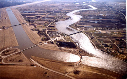
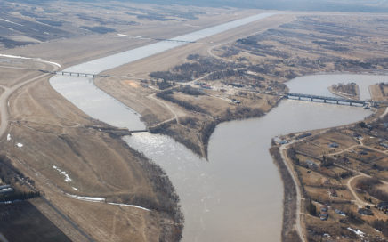
Floodway exit at Lockport 01
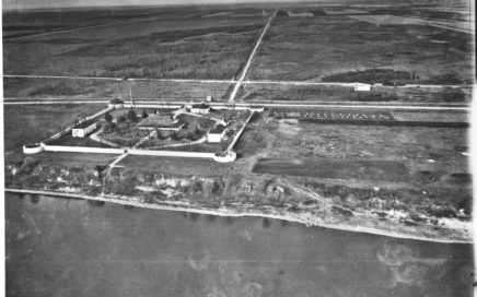
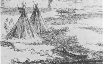
![](https://redrivernorthheritage.com/wp-content/uploads/2017/02/KennedyHouse-436x272.jpg)
KennedyHouse
![](https://redrivernorthheritage.com/wp-content/uploads/2017/02/Map-191-river-systems-map-436x272.jpg)
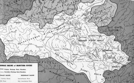
Map 191- river systems map
![](https://redrivernorthheritage.com/wp-content/uploads/2017/02/Maps-Red-River-floodway-3-436x272.jpg)
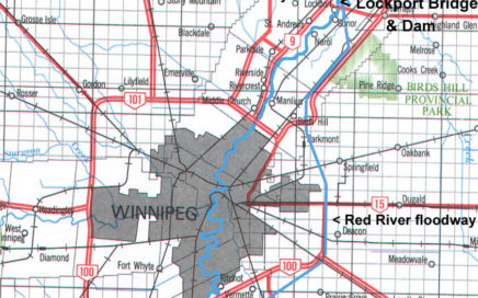
Maps – Red River floodway-3
![](https://redrivernorthheritage.com/wp-content/uploads/2017/02/Maps-1922-Lockport-area-map-436x272.jpg)
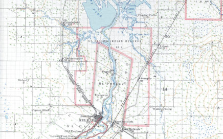
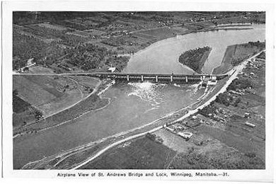
Maps 1922 Lockport area map
![](https://redrivernorthheritage.com/wp-content/uploads/2017/02/Maps-1922-map-detail-436x272.jpg)
Maps 1922 map detail
![](https://redrivernorthheritage.com/wp-content/uploads/2017/02/Maps-1922-sectional-map-Selkirk-region-436x272.jpg)
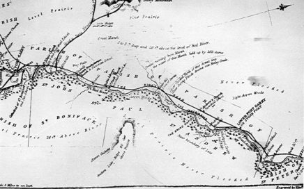
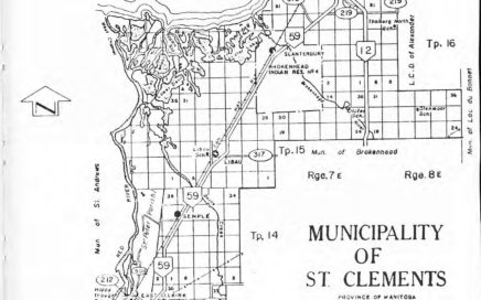
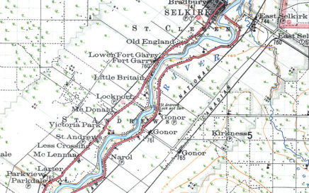
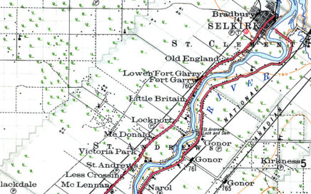
Maps 1922 sectional map Selkirk region
![](https://redrivernorthheritage.com/wp-content/uploads/2017/02/Maps-aerial-of-riverlots-436x272.jpg)
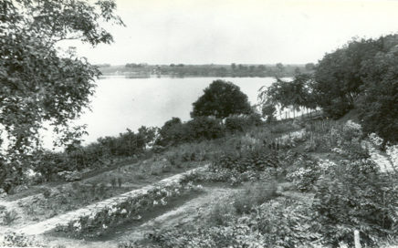
Maps aerial of riverlots
![](https://redrivernorthheritage.com/wp-content/uploads/2017/02/Maps-Arial-photo.jpg)
Maps Arial photo
![](https://redrivernorthheritage.com/wp-content/uploads/2017/02/Maps-Outlet-Structure-2004-436x272.jpg)
Maps Outlet Structure 2004
![](https://redrivernorthheritage.com/wp-content/uploads/2017/02/Maps-RRS-50-8-436x272.jpg)