Maps and Aerial Photos
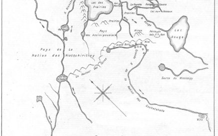
1737 La Verendrye map
1813 Red River settlement
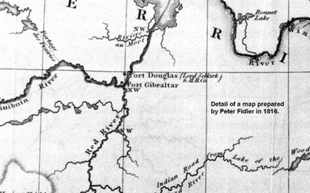
1816 Map 018-a NW Co forts in Red River basin
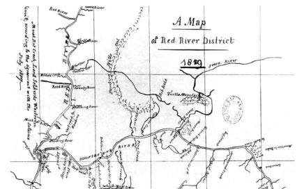
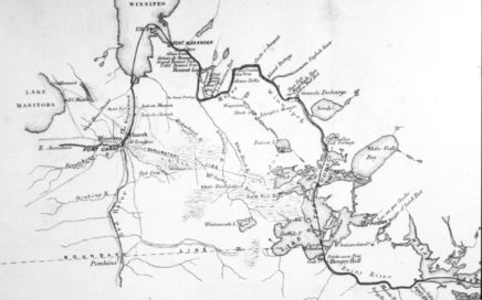
1819 fidler map
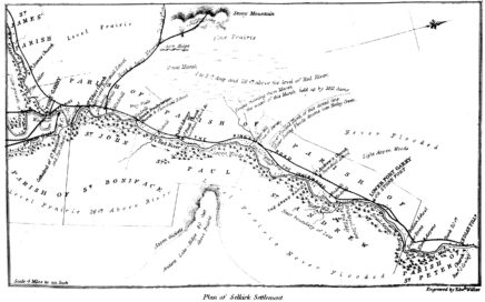
1848 plan of Selkirk Settlement from H Y Hind survey 01
1850s Trails to St Paul
1860s Map of River Road
1870 Map 017a Route of Red River Expeditionary Force
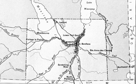
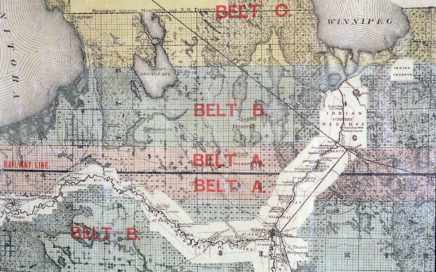
1870 Map 033 Warkentin’s Settlement in Manitoba
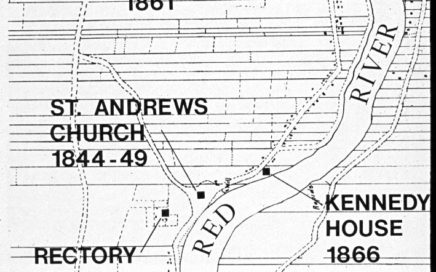
1870 survey map River Road 01
1872 Map 019 c
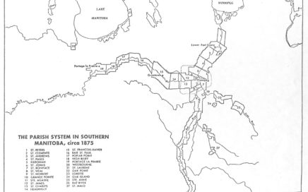
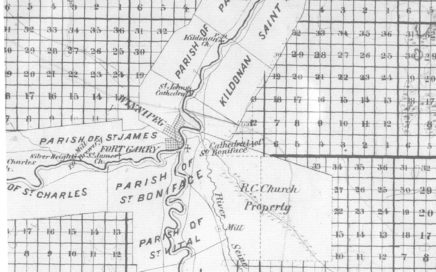
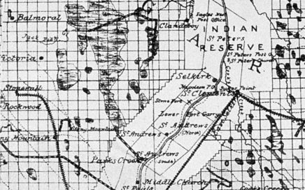
1875 Map 083 Parishs in Manitoba
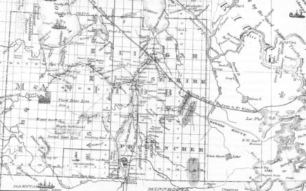
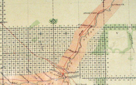
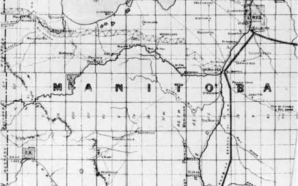
1876 Map 007 Province of Manitoba
1878 Map 029a
1878 Wpg -Selkirk
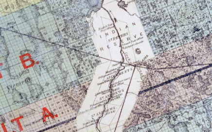
1879 map
1879 Map original veg, south Interlake
1882 Map 009-c early drains
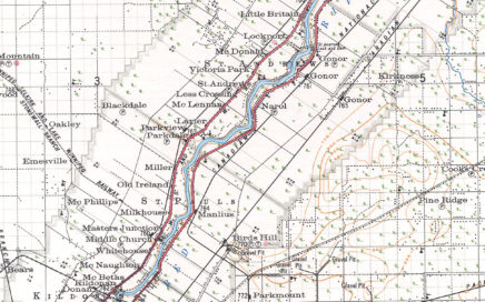
1921 Map 036e Sectional Map
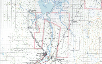
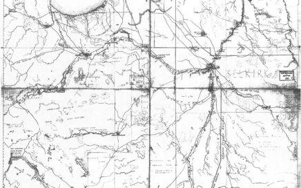
1922 sectional map Selkirk region
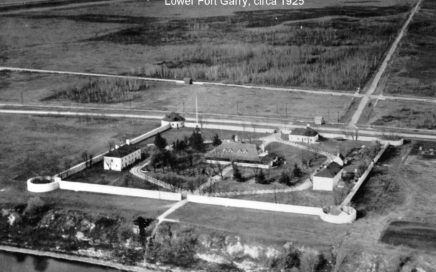
1925 Lower Fort Garry
1925 Lower Fort Garry
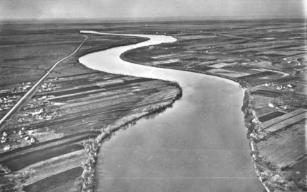
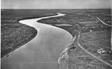
1926 River Road aerial (5)
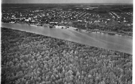
1926 River Road aerial 01
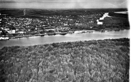
1926 River Road aerial 02
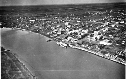
1926 River Road aerial 03
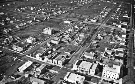
1926 River Road aerial 04
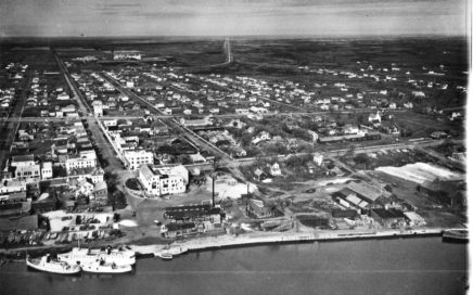
1926 River Road aerial 05
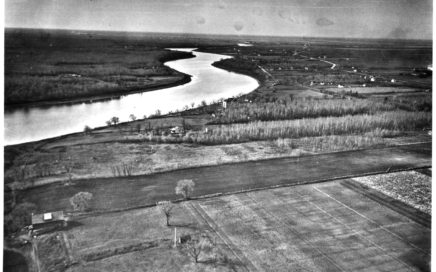
1926 River Road aerial 06