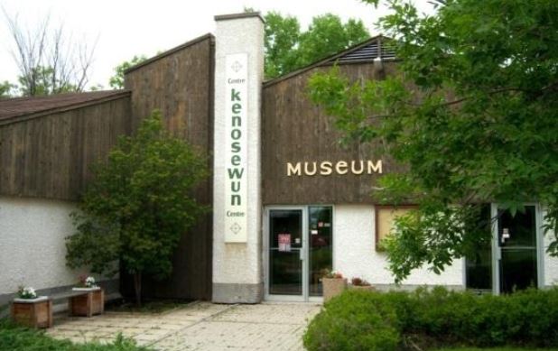
Located 21 km north of Winnipeg, the Kenosewun Visitor Centre and Museum is dedicated to the preservation of the archeological heritage of St. Clements. The museum is closed but the site is open to the public from mid-May to early September. The name “Kenosewun” means “place of many fishes” and was so named because of the bountiful supplies of fish that were found along the great Lister Rapids.
St. Clements was once home to a number of different Aboriginal cultural groups. The Larter Culture (1000 – 200 BC) was the first Aboriginal group to occupy the Lockport area. They came following the large herds of bison. The Laurel Culture (200 BC – 1000 AD) emerged soon after.
Several Laurel burial mounds have been found near Lockport and pottery fragments have been discovered as far north as St. Peter’s Church in East Selkirk, Manitoba. The last two Aboriginal cultures present in the Lockport area include Aboriginals from the Dakotas (1000 and 1300 AD) and the Selkirk Culture. The Selkirk Culture were the ancestors of the modern Cree Indians and were dominant from Lockport to north of Selkirk.
Over 500 years ago, tribes from the south practiced horticulture near present-day Lockport. Archeological investigations conducted at Lockport unearthed charred corn kernels, hoes made from the shoulder blades of bison, and underground storage pits which were up to two meters deep.
Radiocarbon dating indicates that Aboriginal peoples were planting corn here in 1400 AD. They were the earliest pre-European farmers in Manitoba and may have had a population anywhere from 300 to 2000 people.
Pre-history in the Red River North Region
The Kenossowan geocache site is located near Lockport, Manitoba N 50° 05.185 latitude and W 096° 56.197 longitude. If you find the geocache and scan the QR code inside of it, it brings you here to learn more. Watch all of our videos on our YouTube Channel. Other heritage content can be found on our Red River North Heritage Youtube channel.
Transcription:
The spread of maize-growing agriculture on the central and northern great plains between 400 CE and 800 CE encouraged the growth of concentrated settlements.
Better mastery of the food supply by the peoples living there contributed to population growth. Long distance trade also thrived.
The biggest city to be built was Cahokia in modern-day Illinois. At one point, about 30 000 people lived there.
A number of things probably contributed to the collapse of Cahokia and related regions. Drought, flooding, warfare, and unwise use of local resources have all been proposed as factors. Whatever the case, by 1350 CE, Cahokia was gone, and its people dispersed.
Some of those who moved away from the old centers eventually made their way north. A few came to present day Manitoba.
Rising temperatures during the middle ages helped extend the growing line north of Lockport, making agriculture possible in the area. Additionally, floods deposited soil that made the ground more favourable for farming.
The medieval warm period lasted from the mid-10th to the mid-13th centuries. Following it came the little ice age, during which time temperatures became progressively colder.
In Norway, nearly one third of farms that had thrived during the warm centuries had to be abandoned. Agriculture faced a major setback all over northern Europe.
It was apparently just after the beginning of the dip in temperatures that the Lockport fields were ploughed. Whether due to the continually worsening climate or to other factors, the people who lived here abandoned their operation by the mid-15th century.