Sanford Fleming – Engineer-in-Chief and surveyor for the Canadian Pacific Railway, inventor of time zones, designer of Canada’s first postage stamp – originally chose Selkirk for the railway crossing over the Red River. In 1879, with the construction of the East Selkirk Roundhouse, Selkirk residents felt a great deal of anticipation about the coming railway. Hundreds of wealthy business owners and land speculators flocked to the East Selkirk area. East Selkirk’s official government incorporation pamphlet stated that East Selkirk was “destined to be the Chicago of the North-West”.
In April of 1879, Canada re-elected Sir John A. MacDonald’s Conservative government. Rumors began about a change in the railway crossing. The City of Winnipeg had lobbied hard to have the railroad diverted through their growing city. Winnipeg offered a $200,000 bonus, a free right-of-way worth about $20,000, exemption from taxation in perpetuity of CPR holdings within the city, and the building of a $250,000 bridge over the Red River.
However, because the Roundhouse had already been built in East Selkirk, the local politicians and citizens did not believe that the location of the river crossing would change. In May 1879, MacDonald and his government announced that the rail line would be diverted south through Winnipeg.
Sanford Fleming advised strongly against the transfer, as Winnipeg’s flood-prone lands would be devastating to trade in the future (a fact which became all too apparent in the coming years). Within recorded history, the site of the Selkirk railway crossing has not once flooded its banks.
The city’s situation would make it a great city. Wallets in the City of Winnipeg, however, had other plans.
Turning the Iron Horse 90 Degrees
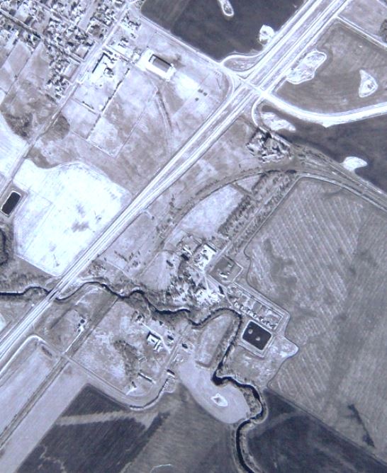
Corner of Kittson Road and HWY #59
The 90 Degree Turn geocache site is located in East Selkirk, Manitoba, Canada at N 50° 07.800 latitude and W 096° 49.141 longitude. If you find the geocache and scan the QR code inside of it, it brings you here to learn more. Watch all of our videos on our YouTube Channel. Other heritage content can be found on our Red River North Heritage Youtube channel.
Transcription:
To the honourable Charles Tupper, Minister of Railways and Canals. Report of the Engineer in Chief on the bridging of Red River. Ottawa, 8th December 1879.
In establishing the railway in this district, the traffic which in future years may come by water from Lake Winnipeg, and the rivers and streams flowing into it, should not be lost sight of.
In order to accommodate this traffic, the railway should be so situated that steamers and sailing craft may easily be brought side by side of the railway cars during the whole season of navigation.
Wherever the railway forms a convenient connection with the deep water of the river, that point will practically become the head of navigation of Lake Winnipeg. In course of time, a busy town will spring up and the land on the town site will assume a value it never before possessed.
Near the river there is a natural deep water inlet, which can easily be reached by a short branch from the main line of the railway; along this inlet, in between it and the river, the land is admirably suited for a capacious piling ground. Vessels lying in the inlet are in no way exposed to damage from floods.
All the craft the Company have in these parts, are moored for the winter in the inlet, which indents the Government block of land.
I am strongly of opinion that the Pacific Railway should be carried across the river somewhere between Sugar Point and St. Peter’s Church. The circumstances which I have briefly described dictate that the crossing should be on the block of Government land at Selkirk.
I have the honour to be, Sir, your obedient servant, Sandford Fleming, Engineer in Chief.