Brokenhead Wetlands Trails can be located by driving north from Winnipeg on PTH 59, passing the Brokenhead Ojibway Nation by approximately 2kms, passing PTH 304 (Stead Road), and using the access road on the west side of the highway which is just south of the highway 12 intersection.
The Brokenhead Wetlands Trail geocache site is located near St. Clements, Manitoba at GPS coordinates N 50° 24.916 W 096° 32.402.
Debwendon Inc. is a non-profit organization formed in 2007 to promote and preserve the Brokenhead Wetland Ecological Reserve, raise public awareness of the historic cultural connection between the Brokenhead Ojibway Nation and the Brokenhead Wetland, construct and maintain over the long term a boardwalk and interpretive trail adjacent to the Brokenhead Wetland Ecological Reserve, and raise funds toward those ends. The word Debwendon means “trust” in Ojibway.
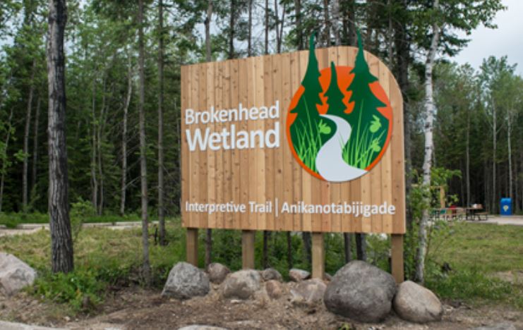
Debwendon Inc. a non-profit community organization welcomes you to the Brokenhead Wetland Interpretive Trail. As you go along the trail, listen to the birds and smell the cedar. Watch for rare plants such as wild orchids, insect-eating plants and mushrooms. This wetland is a sacred area that has been used by the local Ojibway for over 300 years to sustain them and for sacred ceremonies. Therefore, the theme of the trail was designed to highlight the significance of the historic cultural connection between the Brokenhead Ojibway Nation (BON) and the Brokenhead Wetland.
Lawrence Smith, an elder on the Brokenhead Ojibway Nation, worked for many years to get a large portion of the Brokenhead Wetlands protected as an ecological reserve.
This Geocache project activity is supported by the RM of St. Clements Heritage Committee and Debwendon INC, who also gratefully acknowledges the generous financial assistance to this site provided by the contribution of the Government of Canada, Government of Manitoba, RM of St Clements and many private individuals.